Locations
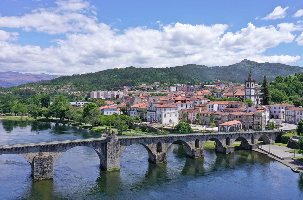
Besides the Rio Minho, which forms the northern border with Spain, the Rio Lima, which crosses the border from Spain at Lindoso in the Peneda-Gerês National Park, forms one of the most beautiful river landscapes of northern Portugal. The area is not overcrowded in any way, has some beautiful cycling routes along the shore and with Ponte de Lima a wonderful place to stay.
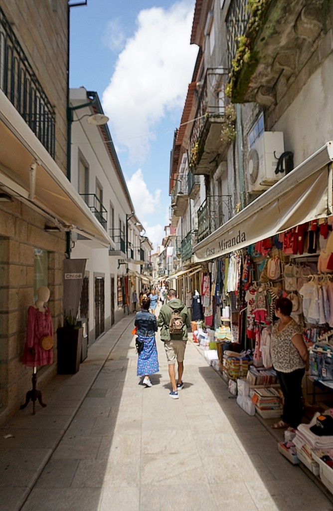
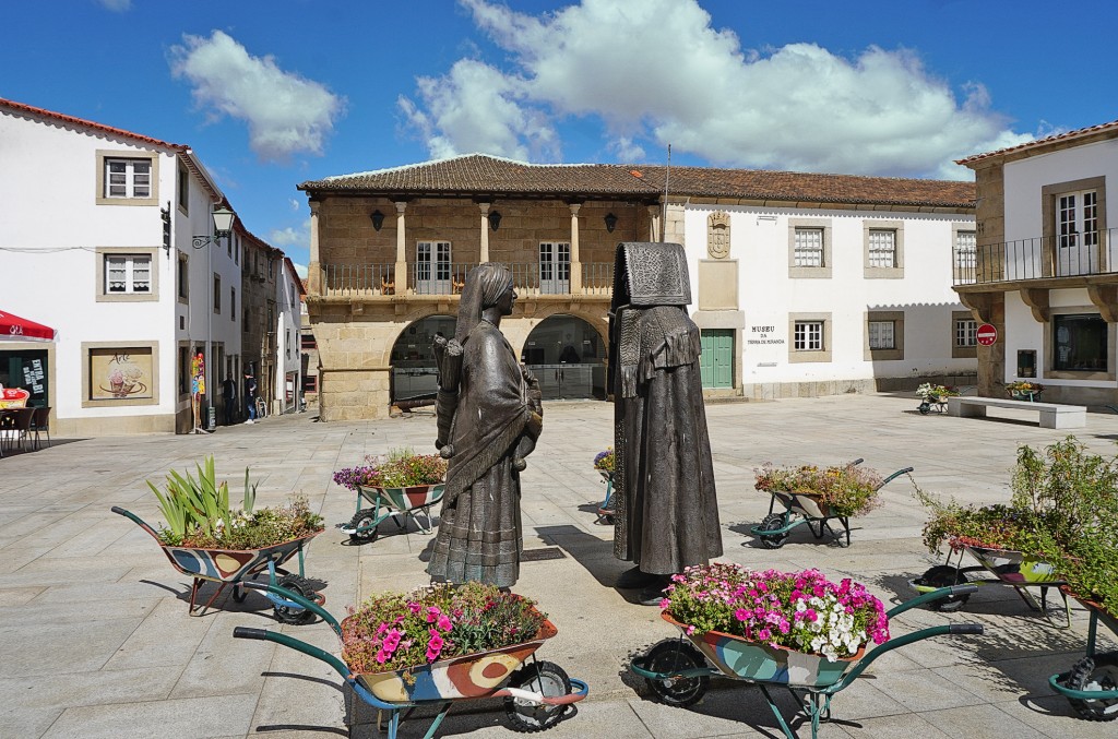
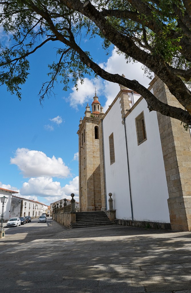
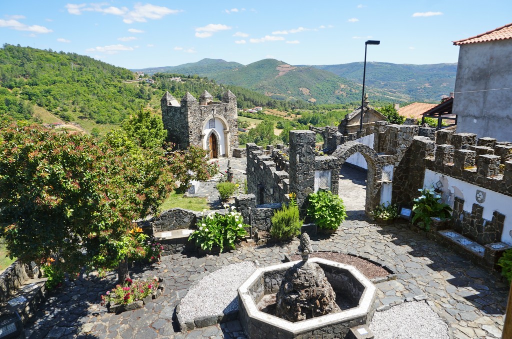
This little picture-book town in the far north of Portugal has a pretty, intact old town with narrow streets and a high fortified tower enclosed by a ring of walls.
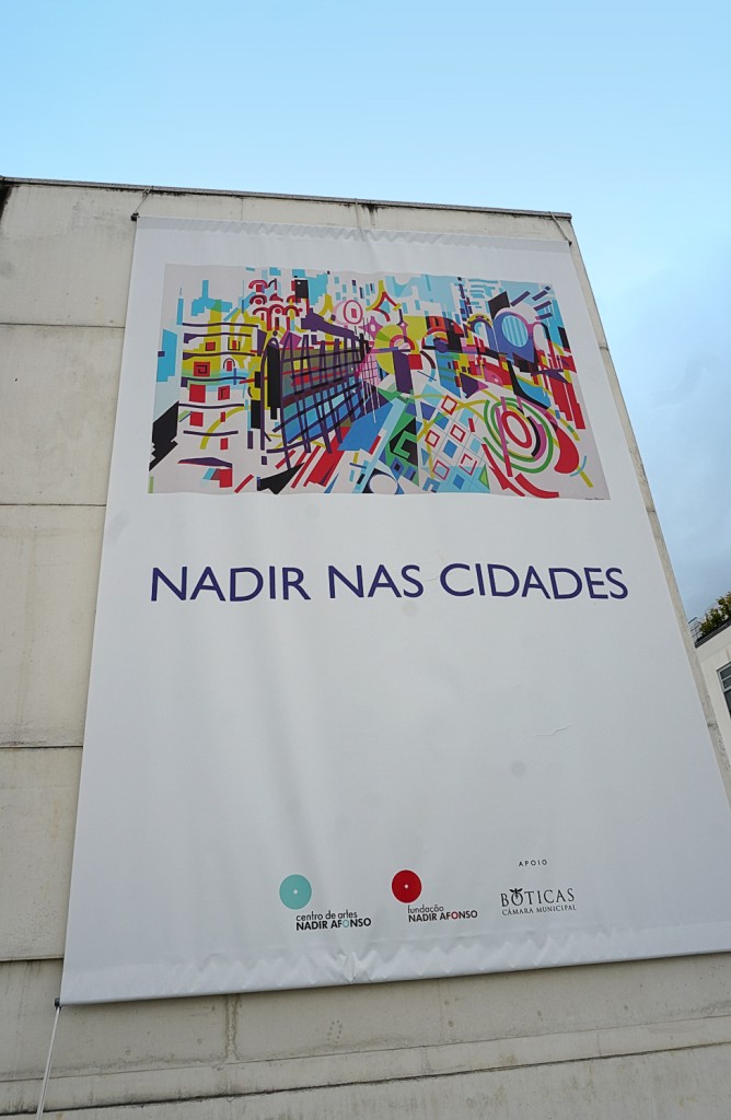
The village of 1,540 inhabitants, located 23 km west of Chaves, is known for its 'vinho dos mortos' ('wine of the dead'). This bottled wine was once created by chance: farmers buried their wine supply in the 19th century to hide it from the French soldiers. When the bottles were dug up again, the farmers were surprised to find that the wine was better than ever. This developed into the specialty that is popular today. You can buy this fine wine at the Turismo (one bottle approx. €10). The tourist information centre is also a spacious, light-flooded art exhibition, mainly with works by Nadir Afonso (see also at Chaves).
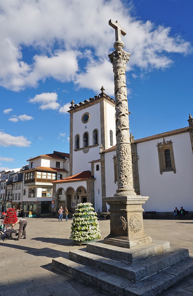
Bragança is the largest city in the Trás-os-Montes region, but how underdeveloped the area is is evident in the lack of industrial districts that usually surround the larger cities of northern Portugal.
The friendly town with thermal baths on the banks of the Rio Tâmega is nestled in an extensive, fertile green valley depression that has provided rich yields since time immemorial. Chaves was located on the Roman road Braga - Astorga and was of great military strategic importance.
A nice district town above the Douro River, where the mountainside turns into the Montemuro Mountains. Portugal's first king, Afonso Henriques (1139-85), went to school here with his tutor Egas Moniz. Another son of the city is General Serpa Pinto, who made a name for himself as an explorer of Africa in the 19th century and traversed the continent from the Atlantic to the Indian Ocean. A museum dedicated to him bears witness to his discoveries.
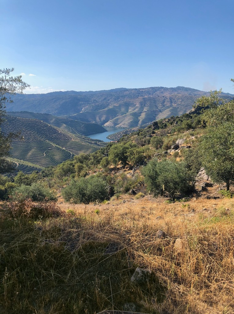
Freixo de Numão is a town steeped in history with settlement since the Copper Age (5000 BC). Accordingly, it boasts a large number of excavation sites. The Romans in particular have left their mark. A circular route leads through a breathtaking Douro landscape of vineyards, almond and olive groves to Prazo with its Roman and medieval ruins.
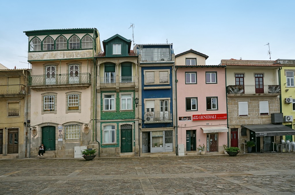
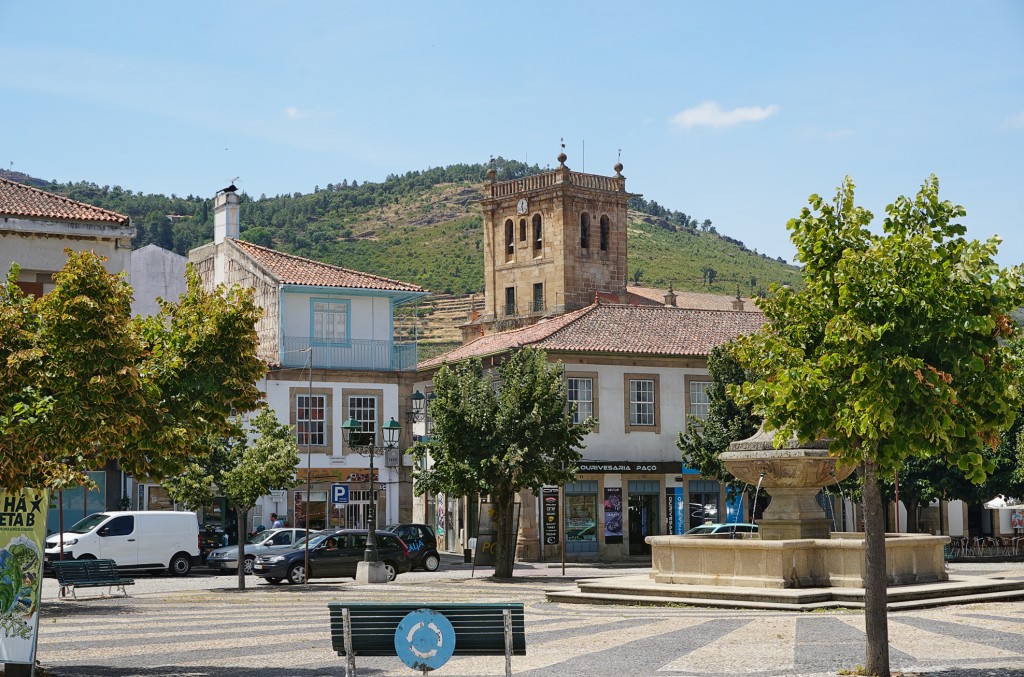
A beautiful coastal town sandwiched between wooded hills and the Rio Lima. The centre is the picturesque Praça da República, with a splashing fountain in the middle and richly decorated facades all around. The merchants' houses and the granite ashlar town hall were built during the Age of Discovery and reflect the wealth of that era.
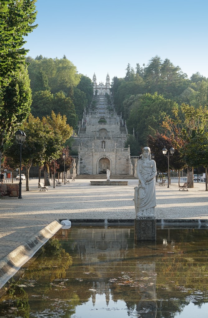
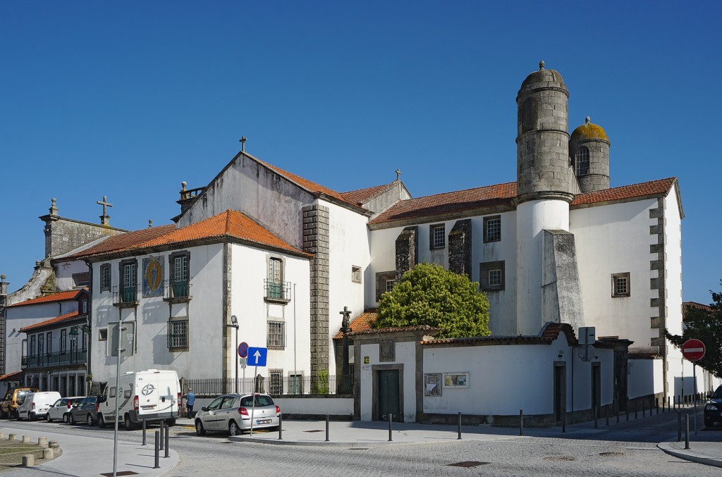
A detour via the A 24 leads to the provincial centre of Lamego, located just south of the Douro Valley. The city calls itself the 'birthplace of Portugal' because it was here that the first king, Afonso Henriques, first summoned his Cortes.
The landscape is like its wine: green. The Rio Minho, which gave the province its name, is the border river between Spain (Galicia) and Portugal. Accordingly, you meet many Spaniards in the small places alongside the border.
A cathedral without a bishop, a language that is neither Portuguese nor Spanish, stick dancers like in Transylvania ... Miranda do Douro is a wild mix of interesting idiosyncrasies and at the same time a sleepy nest where the fox and the hare say goodnight to each other.
The 750 km² large nature park in the northeast is probably one of the most backward areas of the country. Especially to the north-east of Bragança, there are villages where time seems to have stood still, even in a negative sense: the rural exodus of the past decades has left many houses in some villages to decay. The remaining inhabitants do little for the preservation, much seems slightly neglected.
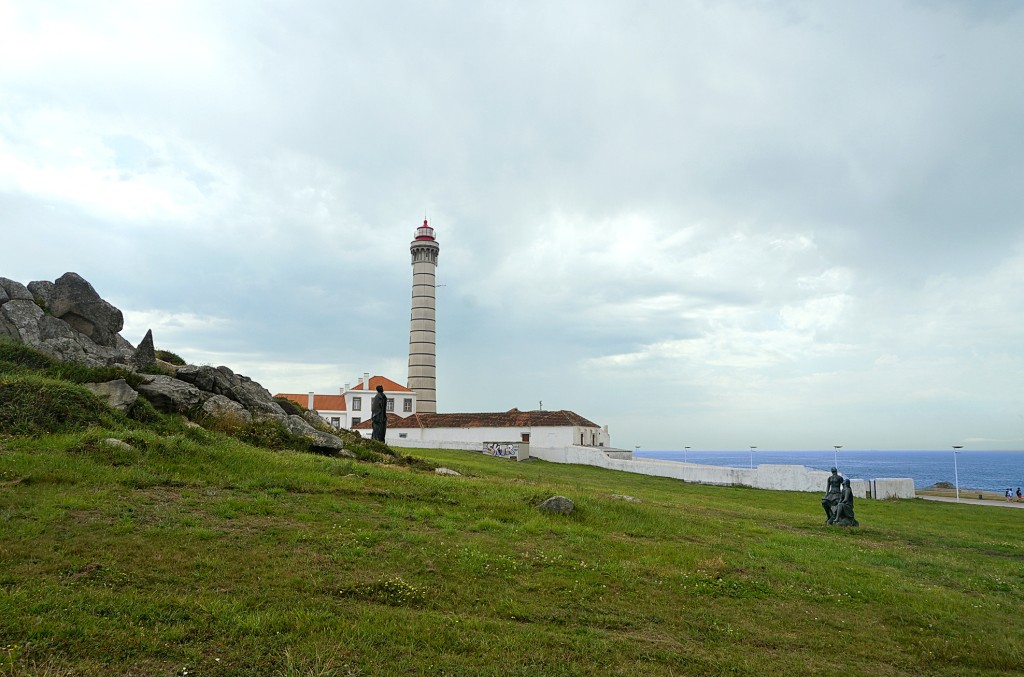
Leça da Palmeira: the northern section of the coast with the hamlet of Leça can be reached from Matosinhos via the Ponte móvel de Leça, a modern lift bridge over the Leça River. Here there are again wide sandy beaches with modern apartment development. Not far inland, you can still see the mighty installations of the Petrogal oil refinery, which ceased operations in 2021.
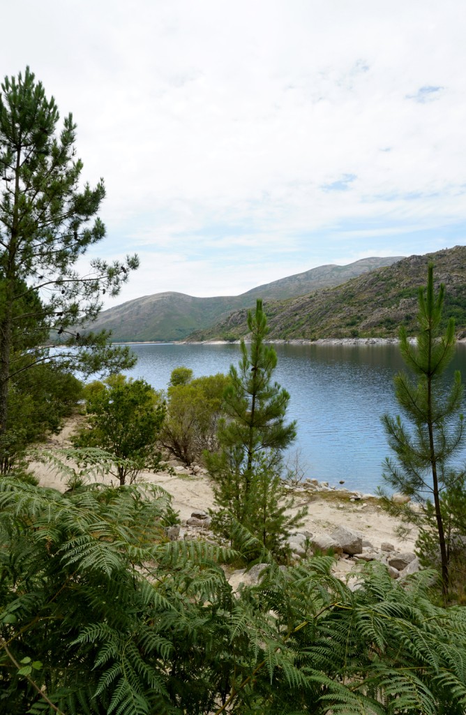
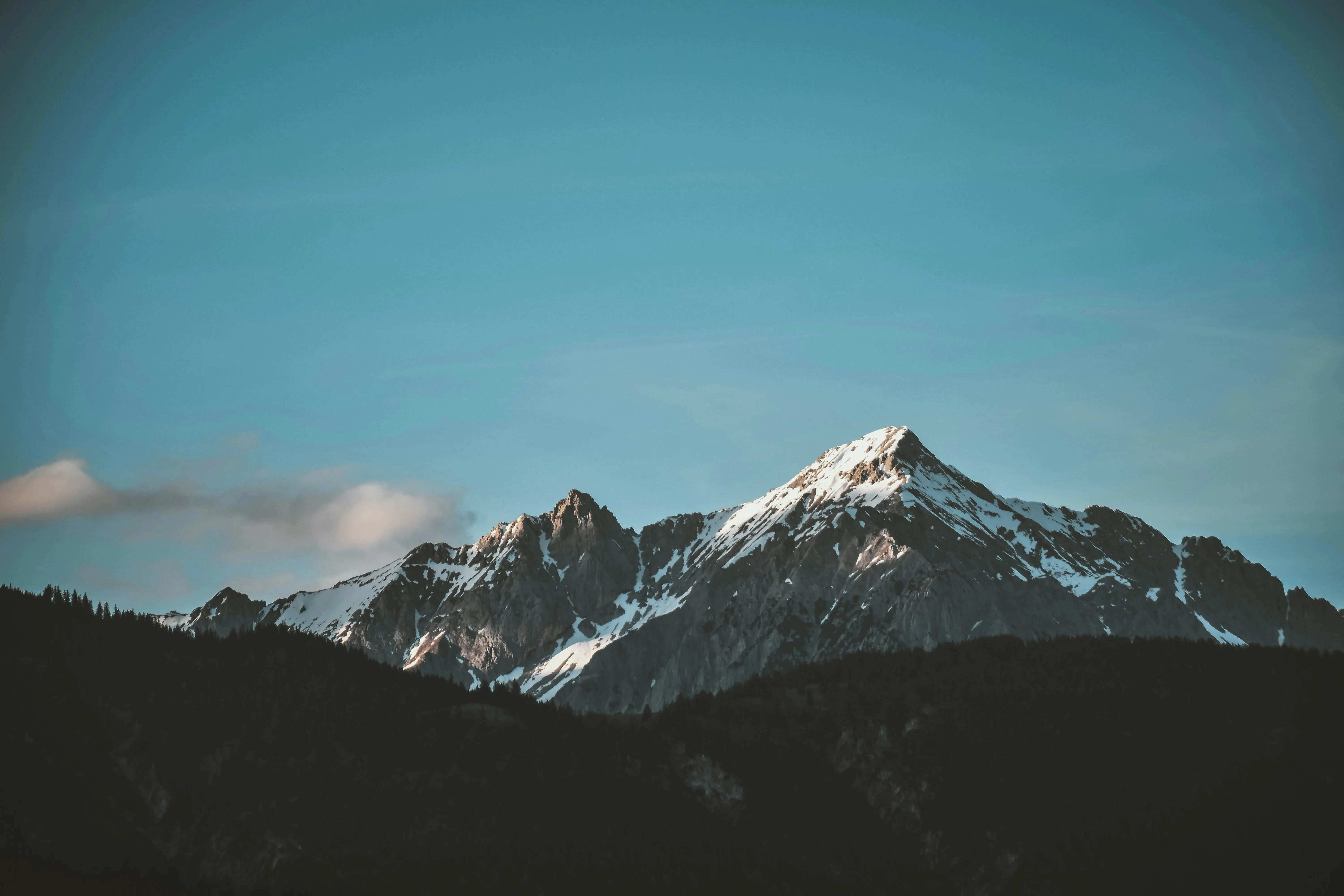
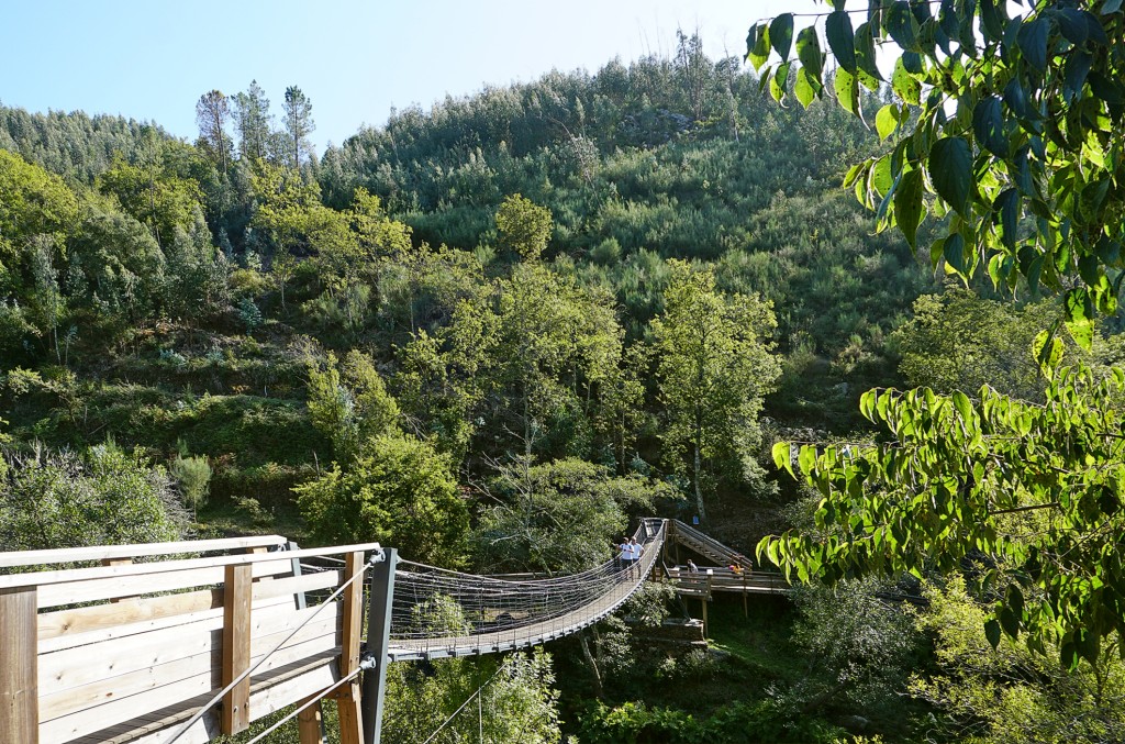
Portugal's only national park nestles right on the Spanish border and has everything you could want from such a park: lush vegetation, crystal-clear rivers, thundering waterfalls, refreshing swimming pools, rugged cliffs and, and, and. Especially on summer weekends, however, you are not alone, because then there are many excursionists from the nearby towns.
The last major town in the Douro Valley is the wine-growing centre of the region and a good starting point for exploring. The double name comes from the fact that there were originally two villages here, Régua on the river and Peso further up the valley slope. Both were united in the 19th century to form Peso da Régua.
Small sleepy village on the banks of the Douro. There are no sights worth mentioning, apart from the railway station decorated with azulejos (→ box) and the beautiful landscape.
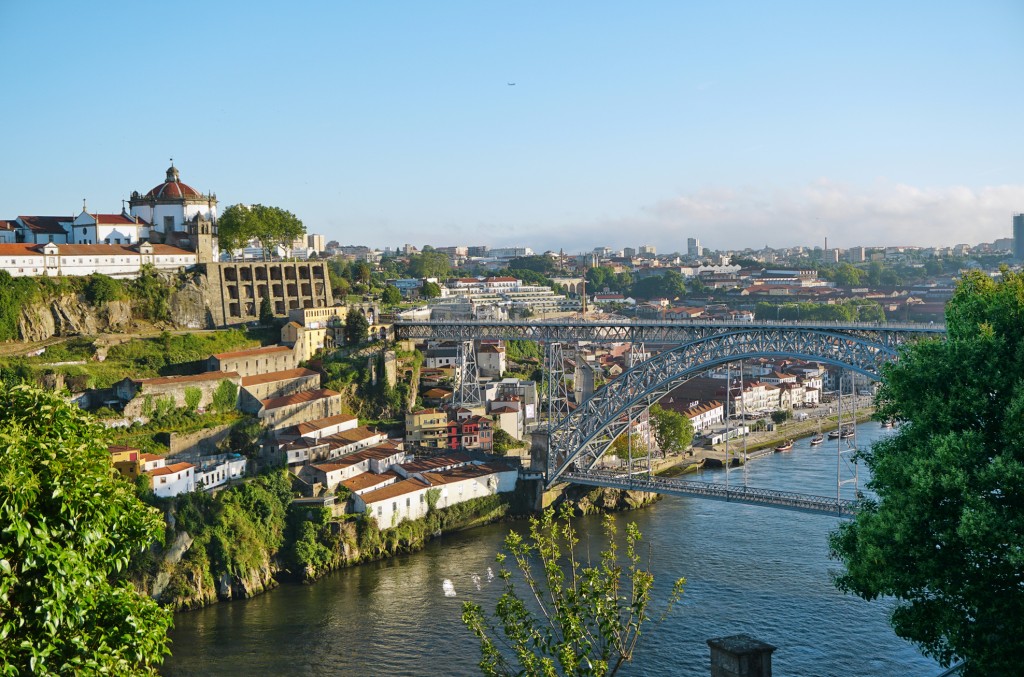
Porto's landmarks are the mighty steel skeleton bridge over the Douro, the Ponte Dom Luís I and the baroque church tower Torre dos Clérigos. The small medieval centre is dominated by the Cathedral and the huge Bishop's palace on the hill above. Only at one point, above the bridge, is the old town still surrounded by the city wall.
From São Bento station you can take the train in the direction of Ovar, after only 30 min. you will reach Miramar. From the train station there it is a short distance to the wide sandy beach. There you can see on the right the Capela do Senhor da Pedra, which was built photogenically on a rock in the sea. The place is said to have miraculous powers, and that is necessary: hoof-shaped imprints of the devil himself have been made out in the rock, and at night the incarnate is sometimes even said to prance around the capela.
The pretty town of 2,000 inhabitants with its old centre and narrow streets and surroundings is the heart of the Douro Valley. Its location on a plateau, some distance from the deeply cut Douro Valley, has enabled it to develop into a regional centre. Many newer buildings can be seen along the long thoroughfare of the village.
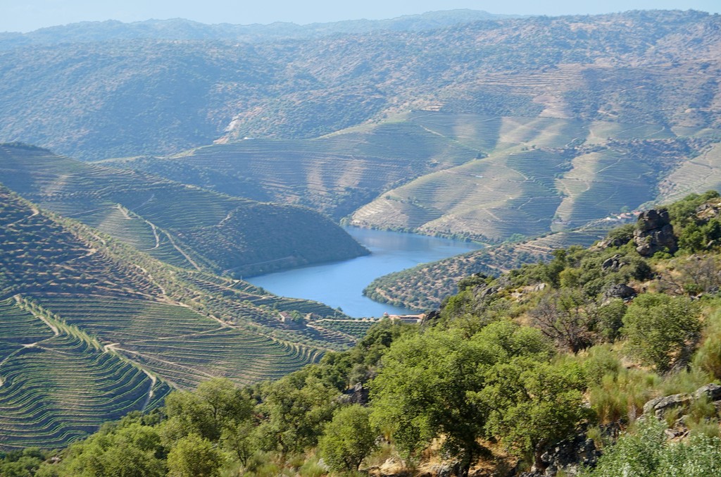
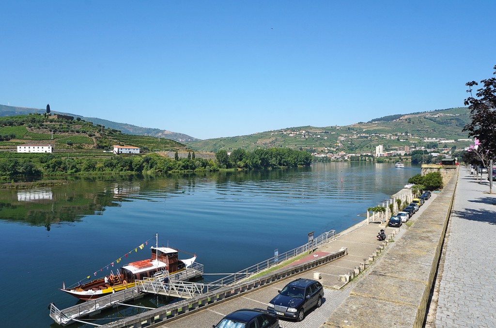
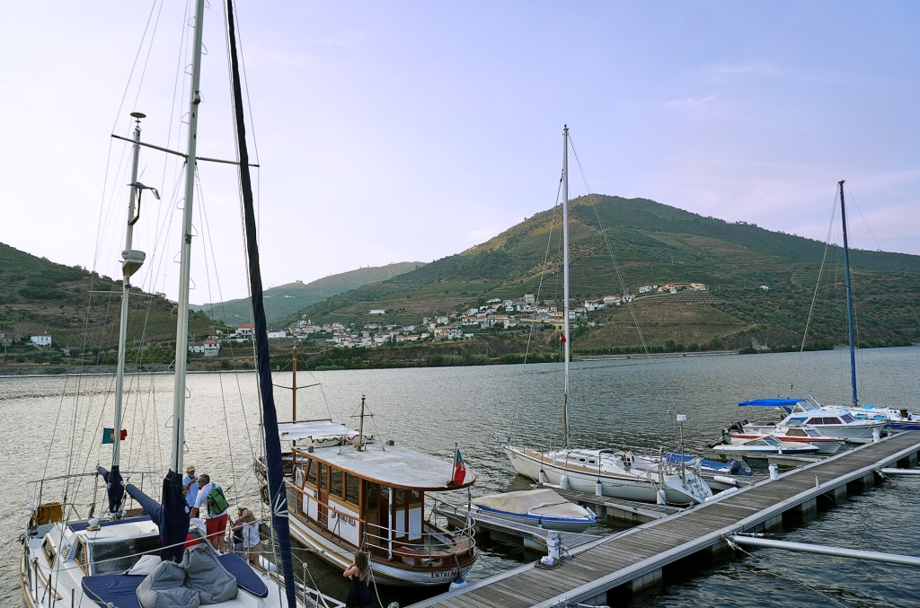
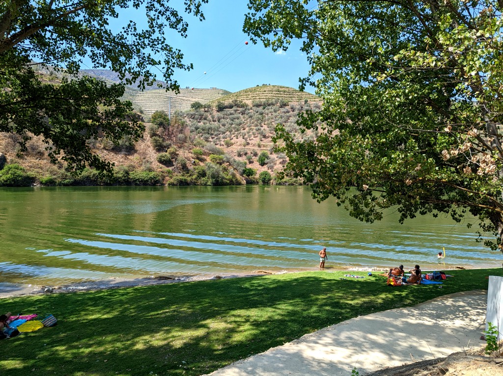
From Porto, the Rio Douro meanders through green mountains towards Spain. This is where the grapes from which wine is made grow. All along there are whitewashed villages.
The pleasant, somewhat sleepy mountain village of 2,800 inhabitants played a major economic role for centuries. On the local mountain, which rises next to the village, the most productive iron ore deposit in the country was discovered in the 19th century and exploited for a long time. In the beginning the ore was melted down on site, but it was soon more economical to transport the ore to Porto (Seixal) and smelt it there. In 1983, however, the mining company had to file for bankruptcy, and the Iron Age was over for Torre de Moncorvo. After long preparatory work, dismantling is now to begin again. Currently, viticulture is probably the most important economic pillar of the village.

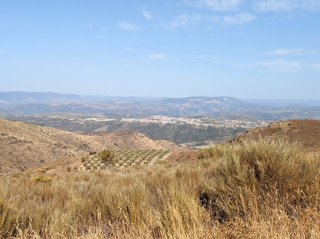
'Beyond the mountains' is a barren landscape. The forests of the Minho and the endless vineyards of the Douro end here. The largest part of the Trás-os-Montes region is sparsely vegetated. The people are as rough as the landscape. Nowhere in Portugal, they say, do they curse as much as here.
With the discovery of the prehistoric carvings in 1992, the little town on the Douro experienced an upswing in tourism. Before the news about the Stone Age drawings was published in 1994/95, Vila Nova de Foz Côa was known for its almond blossom, its ageing population and the damming of the Rio Côa planned by the Portuguese power company EDP. But the discovery of the drawings, some of which are over 30,000 years old, forced the government to stop the dam project.
Vila Real is young. Although it has had city rights since 1289, it was only in the last 100 years that the small town at the confluence of the Rio Corgo and Rio Cabril grew to its present size. Accordingly, many buildings are also new, which does not necessarily enhance their beauty.
The elongated village is really 'behind the mountains', far away from the northern Portuguese metropolises, and on the Spanish side of the border there is also no bigger city that would provide a stream of visitors at least on weekends. But a lot of money was distributed by government agencies to make life in the community more attractive, reduce rural exodus and attract visitors.